


 English
Tropical Cyclone Wind Signal (TCWS) No. 1 was raised over Batanes and the northeastern part of Babuyan Islands on Thursday as Super Typhoon ''Henry''slightly weakened, the Philippine Atmospheric, Geophysical and Astronomical Services Administration (Pagasa) said in its 5 pm bulletin.
The center of “Henry” was last spotted 400 kilometers east northeast of Itbayat, Batanes. ''Henry'' had maximum winds of 185 kilometers per hour and gusts of up to 230 kilometers per hour.
''Henry'' is moving south southwestward at 15 kilometers per hour. By Thursday night or Friday morning, ''Henry'' is expected to become almost stationary.
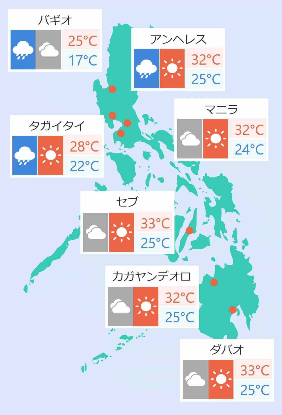
Pagasa said Thursday night Batanes will experience moderate to heavy rains while light to moderate rains are expected over the Babuyan Islands.
“Henry” is also forecast to enhance the southwest monsoon which is expected to bring rains over Luzon tomorrow.
Tropical depression ''Gardo'' weakened into a remnant low at 8 am. It will be fully assimilated by ''Henry'' Thursday night.
Under the influence of “Henry”, a gale warning is in effect for the northern and eastern seaboards of Northern Luzon.
It is also expected to bring moderate to rough seas over the eastern seaboards of Isabela, Central and Southern Luzon, and the Visayas.
“Henry” is expected to start heading slowly northwestward by Friday afternoon before eventually going north by Saturday.
Pagasa said ''Henry'' may leave the Philippine Area of Responsibility (PAR) on Saturday evening or Sunday morning. Jaspearl Tan/DMS