


 English
As Typhoon Karen left the country with three dead and destroying an estimated 2.7 billion pesos worth of crops and livestock, another typhoon is expected to enter the Philippine Area of Responsibility Monday evening.
The typhoon, internationally named Haima but named Lawin when it enters the country, has winds of up to 175 kph and gusts of up to 215 kph, a state weather forecaster said.
Haima was located 1,245 kilometers east of Legazpi City, Albay, forecaster Jori Loiz said. He said Haima, which is moving west northwest at 24 kph, will become a super typhoon before making landfall over Cagayan Thursday morning.
Haima is forecast to move west northwest at 24 kph and expected to make a landfall over Cagayan by Thursday morning and cross Ilocos Norte and Apayao provinces.
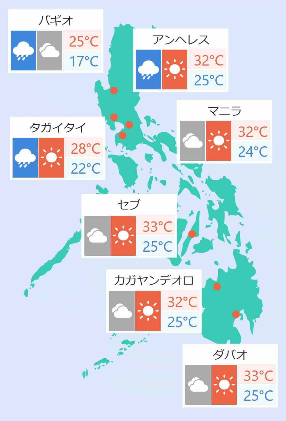
Metro Manila and the rest of the country will experience isolated rains and thunderstorms.
The National Disaster Risk Reduction and Management Council said damage to agriculture was felt hardest in central Luzon, where crop and livestock damage was estimated at P2.14 billion. Robina Asido, Ella Dionisio/DMS